
Start a Grand Island Street Directory Search
A street search should begin with the parcel, not a guessed household list. Grand Island assessment and map records can connect a property location to its section-block-lot identifier, usually called an SBL. That identifier is the useful bridge to recorded documents. The New York voter tool has a different job: it checks a known person against matching registration details, rather than producing every name on a street. Older reverse directories can add a dated name at a numbered address, but they need the same parcel and date checks.
- Search the address in the Town-linked assessment system or the 2025 final assessment roll. Save the property location, SBL, owner field, roll date, and any deed book/page shown.
- Open Erie County On-Map, search the address or SBL, and use Identify to compare the parcel with the street and nearby lot lines.
- Take the SBL, deed book/page, and current owner name to Erie County Clerk BrowserView. Its records are searched by party, map or parcel number, document type, and date, not by a simple street-address field.
- Use the New York Voter Lookup only when the county, first name, last name, date of birth, and ZIP are already known for one person.
- For a historical address, check the dated reverse or criss-cross directory volumes and then test the entry against the deed or assessment trail.
That address-to-owner-to-deed sequence is more reliable than treating one result as a complete answer. A recorded owner, a tax mailing address, and a registered voter are separate facts with different dates and purposes.
Grand Island Street Directory Assessor Records
The Grand Island Assessor links residents to the Town assessment search and publishes the 2025 final roll as a fallback. Jill Murphy is the assessor contact at 2255 Baseline Road, First Floor, with 716-773-9600 extension 648. The roll is clearly dated, identified as SWIS 144600, and useful when the linked Beacon search does not load. It is a property and tax record, not a roster of people living inside each building.
| Assessment search field | Type | Street-search use | Careful reading |
|---|---|---|---|
| Owner Name | Text | Find a current owner with surname, initials, or co-owner variants. | An owner is not necessarily an occupant. |
| Property Address | Text or autocomplete | Find the situs, or physical parcel location. | Exact live label was not available during portal inspection. |
| Parcel or Tax Map ID | Text | Reuse the SBL from the roll or GIS. | Keep the displayed identifier unchanged. |
| Search | Button | Starts the property query. | Live control details were limited by the redirect. |
The roll distinguishes “Property Location & Class” from “Current Owner Address.” The first is the parcel’s situs. The second is where tax mail goes, and it can be another address or municipality.
Grand Island Street Directory Insider Tip
The 2025 static roll puts the SBL, deed book/page, current owner address, property location, dimensions, tax values, and exemptions in one dated record. That makes it a practical worksheet when the live Beacon page is slow or the exact address search needs a second check. Copy only the parcel fields needed for the next official search and keep the roll date beside them. Values and exemption codes are tax data, not a description of the people connected to the parcel.
Note: Exemption codes and assessed values describe the tax record, not the makeup or daily use of a household.
Map Grand Island Parcels by Street
Erie On-Map is the spatial half of a Grand Island by-street search. It can search parcels by SBL, owner, or address, then show the parcel on a map. Use the street and parcel layers first. Add aerial imagery, school or election districts, wetlands, floodplains, agricultural districts, and ZIP geography only when those layers help explain place. The County says its parcel data extends through 2025 after a January 28, 2026 update, is supplied as-is, and is not a survey or legal boundary.
The Erie County parcel viewer shows the map tools used for a Grand Island street directory search.
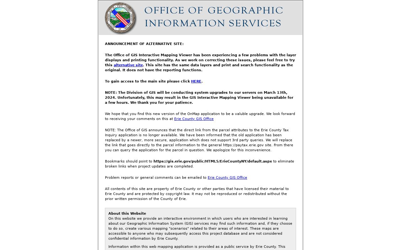
Use Identify on one parcel at a time, then record its SBL, address, owner or mailing field, dimensions, and any deed reference. Find Data can draw a bounded rectangle, and Measure gives distance or area context. Neither tool replaces a survey. A documented one-click radius or buffer tool was not located, so a whole street segment needs deliberate parcel-by-parcel review.
Grand Island Address Record Layers
Address-keyed sources answer different questions. The assessment roll and GIS identify the parcel. The Clerk’s records identify recorded parties and instruments. The voter route checks one matched registration. Building files and old directories may attach a dated person or event to an address. Keeping each source in its lane avoids treating a tax, map, election, or historical record as proof of current occupancy.
| Record set | Key | What it can show | Access channel |
|---|---|---|---|
| Assessment roll or search | Address, owner, SBL | Situs, owner and mailing fields, value, exemptions, school data | Town link or 2025 static roll |
| Erie GIS parcel layer | Address, SBL, owner | Parcel shape, map context, SBL/PIN, dimensions, selected parcel fields | On-Map search, Identify, report, or Find Data |
| Recorded deeds | Book/page, map number, party, date | Grantor, grantee, recording information, legal description in the copy | BrowserView, public computers, request form, or mail |
| Voter registration | County, name, birth date, ZIP | One matching registration result or lawful requested data | State lookup or Erie elections-purpose request |
| Building and code file | Address, parcel, approximate date | Permit, inspection, or complaint material when released | Department or FOIL request |
| Reverse directory | Street and number | Dated listed occupant or principal name | Library historical collection |
Use the SBL to keep the chain anchored when an address has a punctuation, suffix, hamlet, or numbering difference. A street name alone is often too broad, especially near older river-road and locality labels.
Trace Grand Island Deeds by Street
The Erie County Clerk holds deeds from 1808 forward, although the online land index generally begins in 1986 and deed images generally begin in 1960. The address restriction is intentional: the Clerk directs researchers to locate the parcel first, take the book/page or file number from parcel details, and then search the recorded-document index. BrowserView accepts map number, parcel ID, party name entered last-name first-name without a comma, document type, town, consideration amount, and a from/to date range. It also provides quick 7-, 30-, and 90-day date choices.
The Erie County Clerk BrowserView is the party and document side of the Grand Island street directory trail.
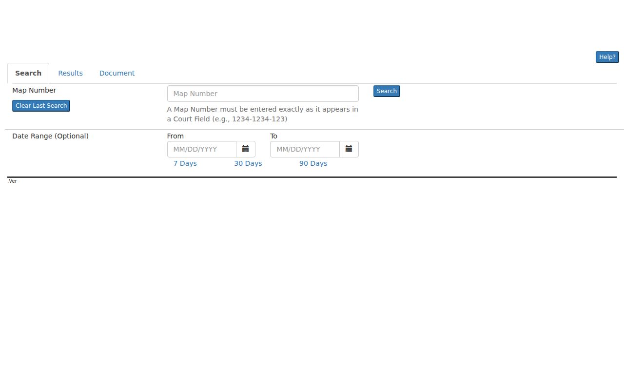
After locating a deed, write down the grantor, grantee, document type, recording date, consideration, instrument or book/page, and legal description. The document image or copy is where the legal description and signatures appear. If online results are thin, use the Clerk’s basement public computers at 92 Franklin Street in Buffalo, the online document request form, or a mailed request with the record keys already collected. Older work can require the Graves alphabetical index, Liber/book-page requests, or a Clerk and library visit.
Note: Search both grantor and grantee spellings, then compare parcel, co-party, town, and dates before linking two documents.
Grand Island Address Record Terms
Four terms help keep an address search precise. They also explain why the map, tax roll, and historical listings can use different strings for the same land.
- Parcel
- A defined piece of land in the assessment or GIS system, usually connected to an SBL or PIN.
- Situs address
- The physical property location used to identify the parcel. It is different from an owner’s tax mailing address.
- Plat
- A recorded map or plan that can describe lots, streets, and subdivision layout. A deed may instead use metes-and-bounds wording.
- Criss-cross directory
- A reverse directory organized by street and number, useful for a dated address check before confirming the parcel in official records.
Keep the original street spelling, house number, locality, SBL, and source date together. A newer address field should not overwrite an older directory description or a legal description from a deed.
Grand Island Street Name Checks
The Grand Island Official Street Guide is the current spelling and map-index check for Baseline, Whitehaven, Ferry, East River Parkway, West River Parkway, 1st Street, 2nd Avenue or Street, 3rd Avenue, and other island roads. Earlier records may instead use East River Road, West River Road, Stony Point, or Baseline. The Town’s history and the island’s communities also make Whitehaven, Ferry Village, Grandyle Village, and Sandy Beach worthwhile locality terms when searching older sources.
No official street-renumbering table, former-name table, or address-conversion project was located. Do not force a modern number onto an older deed or directory entry. Hold the old wording beside the legal description and SBL until the Town, Clerk, or library can confirm the match.
Past Grand Island Address Snapshots
Reverse directories are valuable because they begin with a street and number, then point to a listed person or principal name for that edition. The Buffalo & Erie County Public Library has scattered regional coverage for 1870, 1917, 1949, 1950, and 1979/80, plus Tonawandas volumes from 1989 forward. Those are snapshots, not a continuous annual run and not title proof. Start with the street listing, copy abbreviations and initials exactly, and then cross-check the alphabetical entry and the parcel record.
The fuller collection details belong with the Grand Island city directory collections. For address history, pair a dated directory entry with an assessment date, a deed, a census, or an obituary before drawing a conclusion about a household.
Note: A missing directory entry can reflect an edition gap, abbreviation, or listing practice rather than an empty address.
Grand Island Street Records Beyond Maps
Building, Code Enforcement & Zoning handles permits, plans, inspections, fire prevention, and code-violation complaints. The department publishes applications and contacts, but no public online permit or case database was located. For a dated address question, give the department or Town FOIL officer the parcel or street address and an approximate date. The office can then determine whether a releasable file exists.
Permit and complaint records identify an application or event. They do not establish every person at the location. For a record that is not online, New York’s Freedom of Information Law is a request route, subject to exemptions and separate confidentiality rules. Name the custodian, record type, date range, parcel or book/page, preferred format, and contact details in a focused request.
Limits of a Grand Island Street Search
A property record cannot name every person inside a building. Children, guests, and other household members may never be in a public owner record. The voter lookup requires a specific matched person and does not yield a casual street roster. DMV address data is restricted, and utility, delivery, school, and private association records are not general public sources. A permit or code file may name an applicant or party, not a complete household.
When a person has a protected address or confidential voter registration, do not try to work around that protection. Record the source date, use the narrowest record needed, and ask the named custodian about an apparent error rather than publishing more personal data.