
Grand Island Neighbors by Parcel
Public sources describe different parts of a Grand Island block. Erie On-Map places lots in relation to one another. The Town roll supplies a dated assessment view. The deed index can trace an ownership instrument for a specific parcel. Election material has narrow matching and request rules. Town agendas can explain planning, zoning, historic, conservation, or other public activity near an address, but they do not establish who lives there. The table keeps those limits visible.
| Source | What It Shows About a Block | Access |
|---|---|---|
| Erie On-Map | Adjacent parcel shapes, SBL or PIN, owner and mailing fields, dimensions, and map layers | Public Identify and draw-rectangle tools; not a survey |
| Town assessment roll | Owner, situs, mailing field, value, exemptions, and school or tax fields | Public static roll; date-bound and not an occupancy list |
| Erie County deed index | Ownership sequence, parties, recording date, and legal description for each parcel | Search each SBL, book or page, or name; copies have their own route |
| Voter lookup or request | A named registration match or legally requested district data | Exact match fields or an elections-purpose request; protected records withheld |
| Town agendas and minutes | Public planning, zoning, historic, and conservation context | Keyword, category, and date searching; not a resident roll |
A property owner can receive tax mail elsewhere, and an owner may not be the only person connected to a location. Read the owner and mailing fields as parcel information. Neighbors are best defined by the map, then confirmed one parcel at a time with the assessment record.
Map Grand Island Neighbors
Erie County’s documented neighbor method is visual and parcel based. A parcel is one tax-mapped piece of land. Enter the starting address in On-Map, open the focal parcel with Identify, and zoom until the lot lines are clear. Click parcels that share a boundary or front the intended block. Record the SBL before comparing names. This avoids guessing from house-number order, especially on river roads and irregular lots.
- Search the Grand Island address, then use Identify on the focal parcel. Save its SBL or PIN, property location, and date checked.
- Zoom out to the actual lot lines. Click each parcel with a shared boundary or the defined frontage and record its SBL, situs, and owner field.
- Use Draw or Find Data to make a bounded rectangle when a small map set is helpful. Use Measure only for distance or area context.
- Check every candidate against the Town assessment roll. Preserve mailing municipality and source date separately from the property location.
- For a longer named-street history, use the Grand Island by-street directory rather than extending a block result beyond its map boundary.
Insider tip. Erie GIS documents parcel search, Identify, Find Data, and Measure. It did not document a one-click radius or buffer neighbor lookup, so map review comes first.
Grand Island Block Lines Matter
Map shape decides what “next door” means. A corner parcel can face a different road, and a rear or flag parcel can touch land without appearing beside it in address order. Grand Island’s island geography and river-facing roads make this more important than it may be on a simple grid. Set the intended definition before recording names: shared boundary, same frontage, or a bounded side of the block.
On-Map can display parcels with streets, imagery, ZIP, school, election, wetlands, floodplain, agricultural, and legislative layers. Those layers provide place context, not household facts. The current parcel notice records data through 2025 after a January 28, 2026 update, but monthly changes are not guaranteed. Parcel lines are not legal survey boundaries.
Note: Mark a parcel as an immediate neighbor only after the Grand Island map shows its relationship to the focal lot and the block definition is recorded.
Check Grand Island Neighbor Records
The assessment roll is the practical second check after the map. It can show the SBL, current owner, property location, current owner address, dimensions, value, exemption information, school district, and, where supplied, deed book or page. The 2025 final roll is a fixed snapshot with a July 1, 2024 valuation date and March 1, 2025 taxable-status date. It should be read as a dated tax record.
“Property Location & Class” is the situs, or the physical parcel. “Current Owner Address” is the tax mailing field. Do not turn either field into a claim about all Grand Island neighbors at that address. The same owner can hold multiple parcels, and exemptions describe an assessment program rather than a household roster.
When the owner or parcel needs a history check, take the SBL or book and page to the Clerk’s BrowserView. The Clerk does not offer a direct street-address search. Its index is party, document, date, and book-page oriented, so the parcel record is the bridge.
Grand Island Neighbor Voter Requests
The public state lookup is for a named person. It requires county, first name, last name, date of birth, and ZIP. It can report a registration or poll-related result, not an open block roster. A nonmatch might reflect a spelling issue, address change, protected registration, or no registration. It does not establish that someone is absent from Grand Island.
For a lawful local data request, the Erie County form offers geographic choices, formats, data elements, and sorting options. State the elections purpose required by New York law, choose the smallest T/W/D or election-district area that answers the question, and request no unneeded fields. Confidential voter records are not ordinary block data. Election districts are administrative units, not neighborhood lines.
Grand Island Civic Contacts
Grand Island has a public civic layer, but it is not a member directory. The Town’s named community areas include Ferry Village, Grandyle Village, Sandy Beach, and East River or Whitehaven. Planning and preservation records may provide history or a public point of contact for a street. They do not establish membership in a neighborhood group and should never be used to infer a resident list.
| Public civic resource | Useful block context | Boundary |
|---|---|---|
| Town Advisory Boards | Board structure and public community contacts | Not a block, HOA, or private-member roster |
| Comprehensive Plan Review Board | Public planning perspectives and affiliations | A participant may be an official or representative, not a nearby resident |
| Historic Preservation Advisory Board | Older-property and preservation context; it meets the third Wednesday at 3 p.m. at Town Hall | Its historian and society representatives are civic contacts, not a neighborhood roster |
| Agenda Center | Street, property, and topic searches through public notices and minutes | Read the full record before drawing any conclusion about a person |
The Town’s Advisory Boards page is the official starting point for this civic context. It is also the closest documented public community layer where no comprehensive HOA, congregation, or block-watch roster was located.
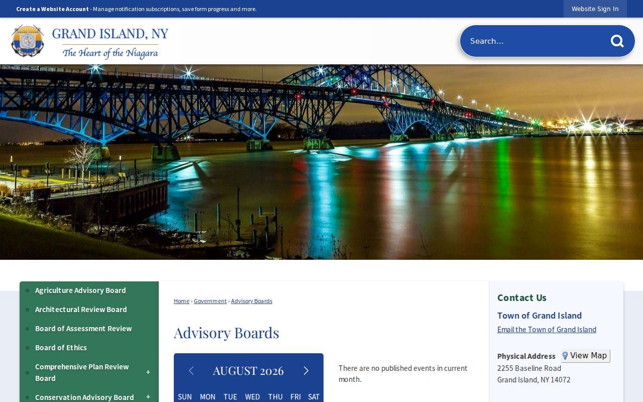
The advisory-board view supports a careful distinction: public meetings can explain a local issue, while parcel and Clerk records remain the places to verify land facts.
Grand Island Neighbors: Official or Commercial
Official Grand Island records are narrow by design. A map describes land, a tax roll is date-bound, and a deed index describes recorded parties. Private commercial neighbor tools may combine address histories, property details, marketing material, and inferred relationships. That category can lag behind a move, merge people with the same name, or omit the date that gives a record meaning.
| Source category | Best use | Do not assume |
|---|---|---|
| Official GIS and assessment roll | Parcel relationship, owner field, and dated situs or tax facts | Every occupant, a legal boundary, or a current household list |
| Clerk deed index | Recorded ownership sequence and legal parcel trail | That every party still lives nearby |
| Commercial compiled category | An unverified lead to test with a custodian | Identity, current location, or a complete relationship list |
Use a source date and the original custodian when a block fact matters. A private listing can be corrected or removed through its own privacy route, but that does not alter an underlying public assessment, deed, or court record.
Grand Island Community Labels
Ferry Village, Grandyle Village, Sandy Beach, and East River or Whitehaven are useful Grand Island geography and history terms. They are not incorporated municipalities or separate resident rolls. Older newspapers, directories, deeds, and local-history sources can use a river-road or hamlet label where a current parcel uses a Town address and SBL. Keep both strings in notes instead of assuming that one replaces the other.
For historic context, search a street or property term in the Agenda Center, library newspapers, and historic material, then verify an owner or legal description through the Clerk. No official public HOA, congregation, block-watch, or private club roster was located. The absence of a roster is a boundary, not an invitation to rebuild one from parcel names or social posts.
Note: A community label can improve a historical search, but a parcel identifier is the more stable Grand Island key for checking a block.
Grand Island Neighbor Privacy Limits
Some information about a block is intentionally closed. The New York Address Confidentiality Program protects eligible participants with a substitute address. Election Law §5-508 keeps confidential voter registrations apart from ordinary inspection. Motor-vehicle information is restricted by the Driver’s Privacy Protection Act, 18 U.S.C. §2721 et seq. Utilities, delivery services, school records, and private association records are not open tools for finding Grand Island neighbors.
For a parcel data error, contact the Town Assessor or Erie GIS. For a deed index problem, contact the Erie County Clerk. For a public meeting record, use the Town’s agenda and clerk process. New York FOIL provides a route for public agency records, but it does not override a separate confidentiality law or open protected addresses.
Lawful use. Use Grand Island block records for personal, lawful neighborhood curiosity, civic context, family history, or property research. Never use them to monitor, stalk, harass, intimidate, or expose anyone.